Stratospheric intelligence for Earth and security

Stratospheric platforms for observation, security and validation.

Upcoming Mission
00
D
00
H
00
M
00
S
StratoRelay • March 4th, 2026 • 08:00 CET • Arezzo, Italy
Involve's Stratostats®, our pseudo-satellite platform for Earth Observation, flying at about 20km altitude
Backed by
About Us

Satellites lack persistence. Drones lack endurance. Ground sensors lack coverage. Involve bridges these gaps from the stratosphere, delivering continuous, high-resolution monitoring over the same area for hours, days or weeks through autonomous, cost-efficient platforms.

+200 Flights
+15.000km Traveled By Our Balloons
+600 Flight Hours
+40 Payloads Elevated
Services

Two mission domains.
One pseudo-satellite platform.

Earth Observation and Defence

ISR (Intelligence, Surveillance, Reconnaissance)
Infrastructure and environmental monitoring
Disaster monitoring and emergency response

Flight Validation and Scientific Missions

Satellite and payload suborbital IOD
EDL (Entry, Descent, Landing)
Atmospheric research and High Altitude Experimentation
Technology

An operational layer between Earth and space

Our technology operates in the stratosphere, using autonomous platforms and AI to provide reliable Earth intelligence.

Higher Resolution

Than satellites

Autonomous

AI-Driven control

Persistent

Continuous presence

Real Time

Monitoring
Solutions

Custom Missions with High Resolution, Real Time Data

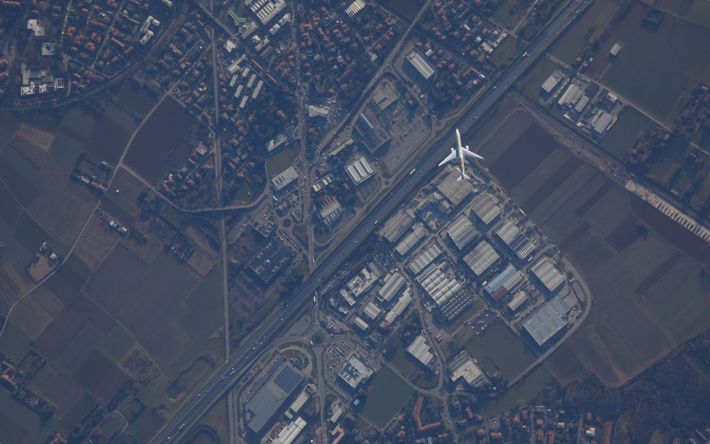
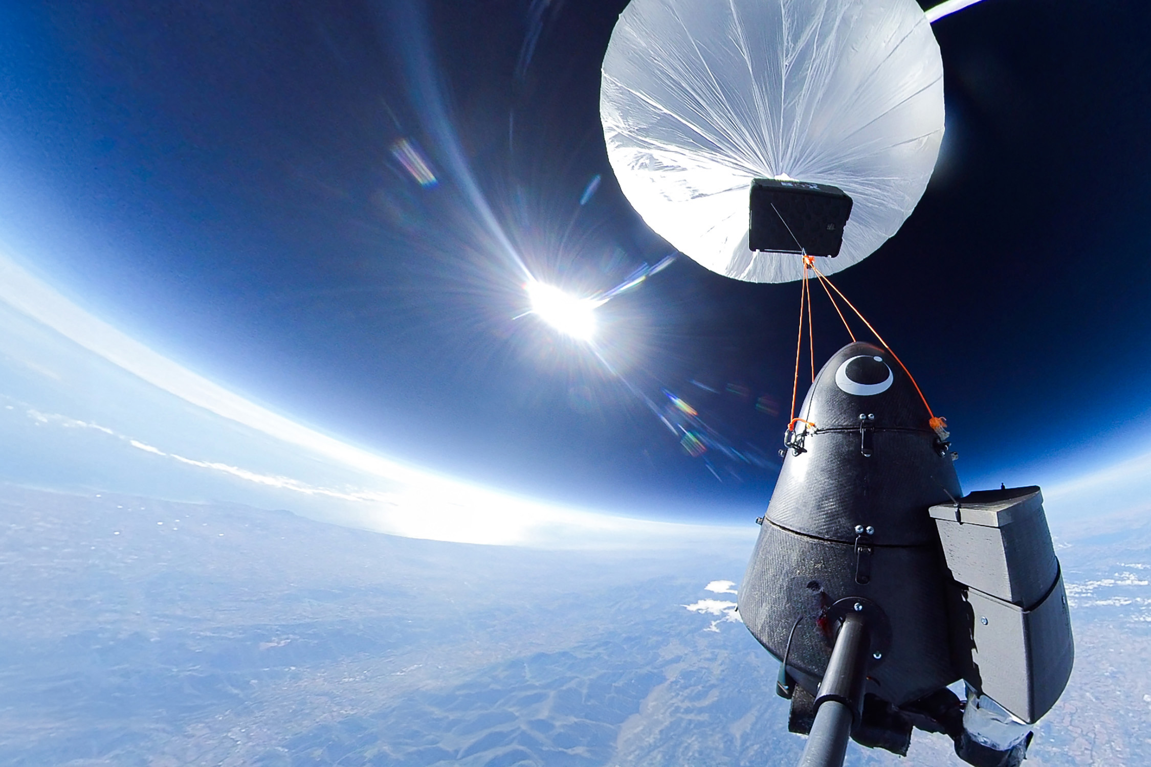
Operating in the stratosphere enables significantly higher spatial resolution than satellites, while covering far wider areas than drones. This altitude layer delivers detailed, actionable imagery with lower cost, faster deployment, and greater operational flexibility.

10 cm / px

Resolution

Near-Real Time

Revisiting Time
Solutions

Clear, our GeoAI Platform

CLEAR is our proprietary GeoAI platform for processing and analyzing stratospheric geospatial data.