Stratostats
Space balloons pseudo-satellites
for infrastructures, natural disasters and traffic real time monitoring, defence, science and telecom

Balloon
A super pressure balloon is at the heart of our operations.
The use of a lighter-than-air gas allow us to lift payloads in a completely sustainable way reaching the stratosphere around 30 km altitude and conducting activities in the near-space.

Gondola
Our probe, built for top aerodynamic and safety standards
Carries payloads to the stratosphere, modular and adaptable, it supports diverse mission objectives, transmitting real-time data and high-quality images.

Software
An AI software controlling the flight.
Our software called Neurostar is based on neural networks that support real-time attitude control of Stratostats through the calculation of trajectories in real time.


Comparison between the products
Feature
Stratostats
Stratorelay
Max Payload
Up to 50kg or more on request
< 1kg
Payload forniture
Involve of the client
Involve of the client
Flight altitude
20-30 km or up to 40 km on request
20-30 km or up to 40 km on request
Flight time
Up to several days/weeks
Up to 24 hrs
Type of remote sensing
(in case of Earth Observation)
Real time monitoring
Mapping within the day after flight
Type of imagery
(in case of Earth Observation)
Optical, Infrared, Thermal, Multispectral
Optical, Infrared, Thermal, Multispectral
Geo-referenced image delivery
(in case of Earth Observation)

Active thermal control
Real time data communication
from gondola to the ground
Connection of the payload
to the OBC
Stabilization of the payload
Onboard power supply
Launch sites
Arezzo (Italy) or Houston (USA)
Arezzo, Como (Italy) or Houston (USA)
Flexible Launch site
Mission customisations
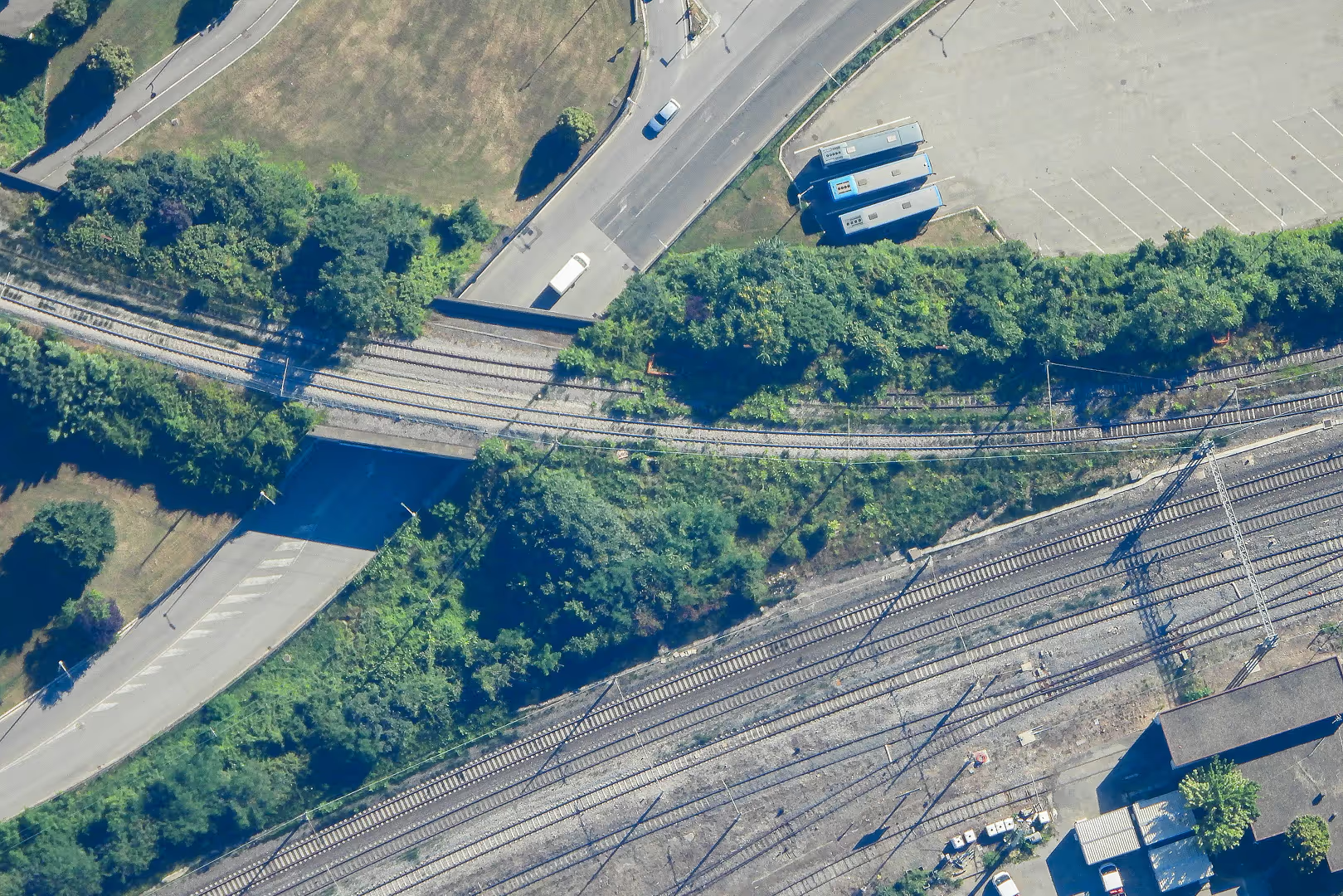
Earth Observation
More than 10x higher resolution
than satellites

WV Satellite
1m/px

Our Tech
0.3m/px
Applications
Monitoring everything moving at human speed

Nature
Climate
Disasters
Agriculture

Logistics
Airports
Harbors
Railways
Infrastructure
Traffic and Road
Structural Health
Utility Infrastructure

Defense
Surveillance
Detection
Borders
