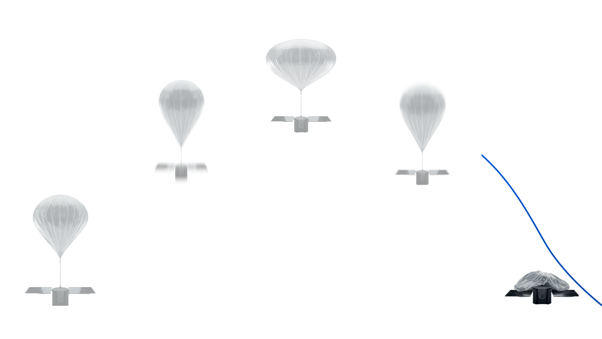
Custom Missions

Access the stratosphere for your next mission

Gap
Access to orbit is slow, expensive, and limited. Launching a satellite can take years and millions in development, while drones and aircraft cannot reach the required altitude or sustain operations long enough to provide persistent, wide-area insight
Drones
Drones lack altitude, endurance, and coverage. They operate locally, for short durations, and cannot provide persistent or wide-area intelligence
Satellites
Satellite missions require massive upfront investment. Launch, deployment, and operations come with high costs, long timelines, and limited flexibility once in orbit
Opportunity

Stratospheric balloons close this gap

The stratosphere is where Earth meets space - an environment harsh enough to replicate orbital conditions, yet close enough for rapid, repeatable, and sustainable launches

Fraction of the cost
Compared to orbital systems, with faster lead times
20-30 km Altitude
Near-space environment for testing, observation, and research
Persistent Vantage Point
Stable atmospheric layer enabling long-duration, continuous monitoring
Wide-Area Coverage
Regional-scale visibility without orbital constraints
Solution

Custom Stratospheric Missions

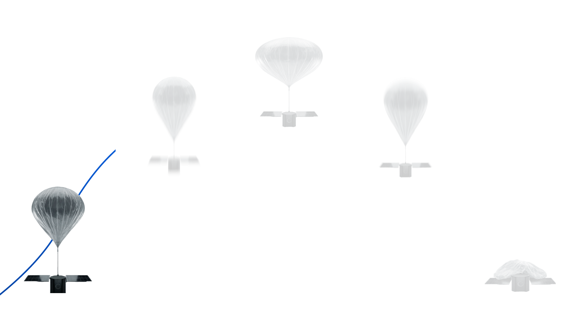
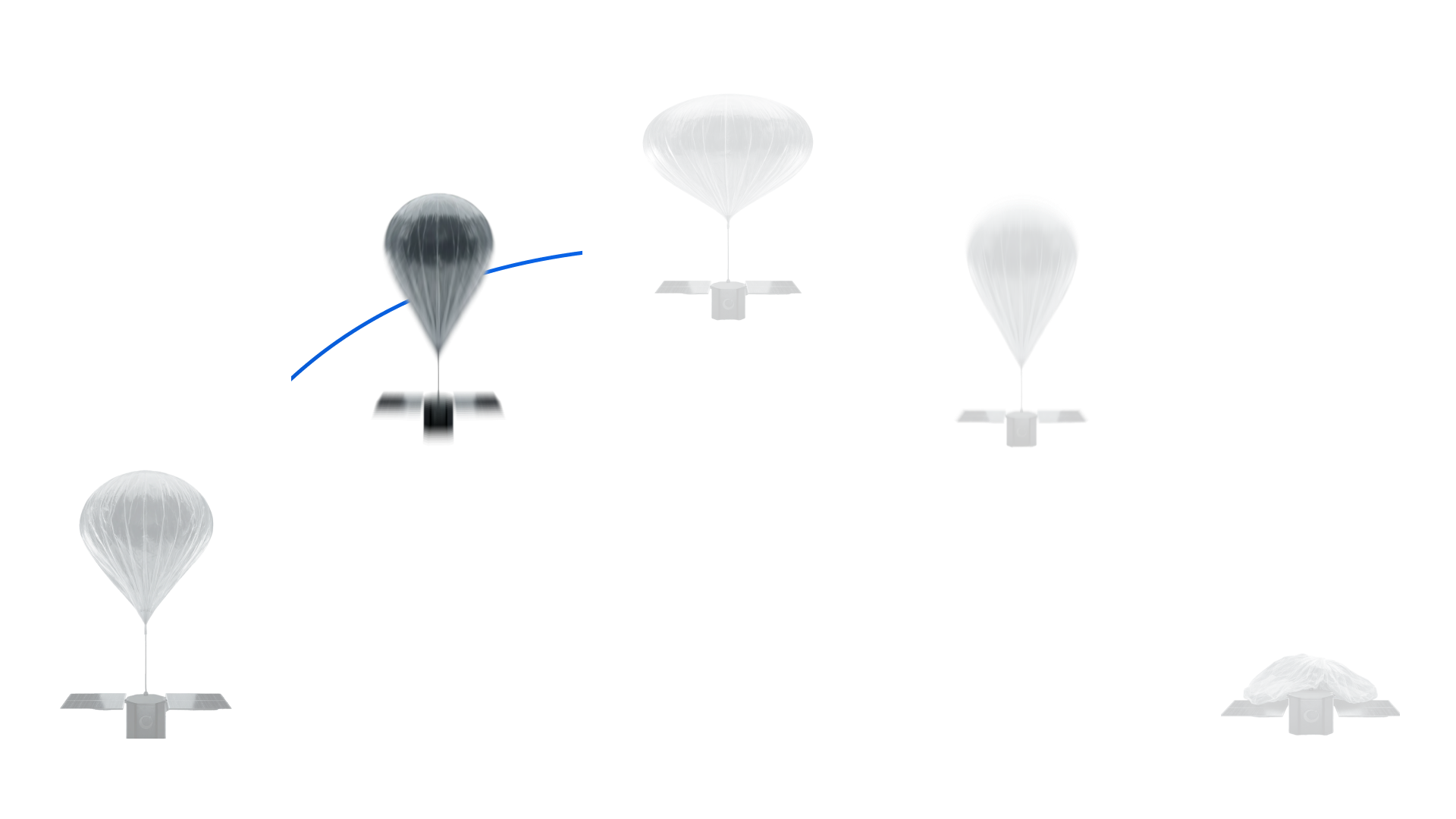
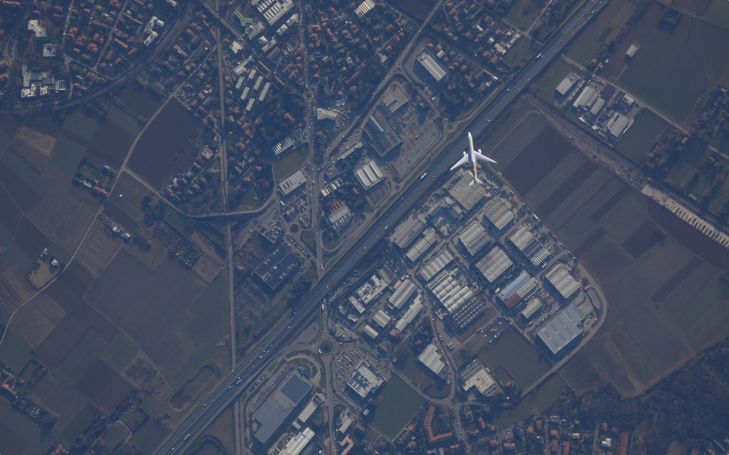
Operating between 20 and 30 km altitude, our custom stratospheric missions provide rapid access to near-space for testing, Earth observation, ISR, and research, at a fraction of the cost and lead time of orbital systems

Configurable missions
Each flight is engineered around your specific objectives and operational constraints
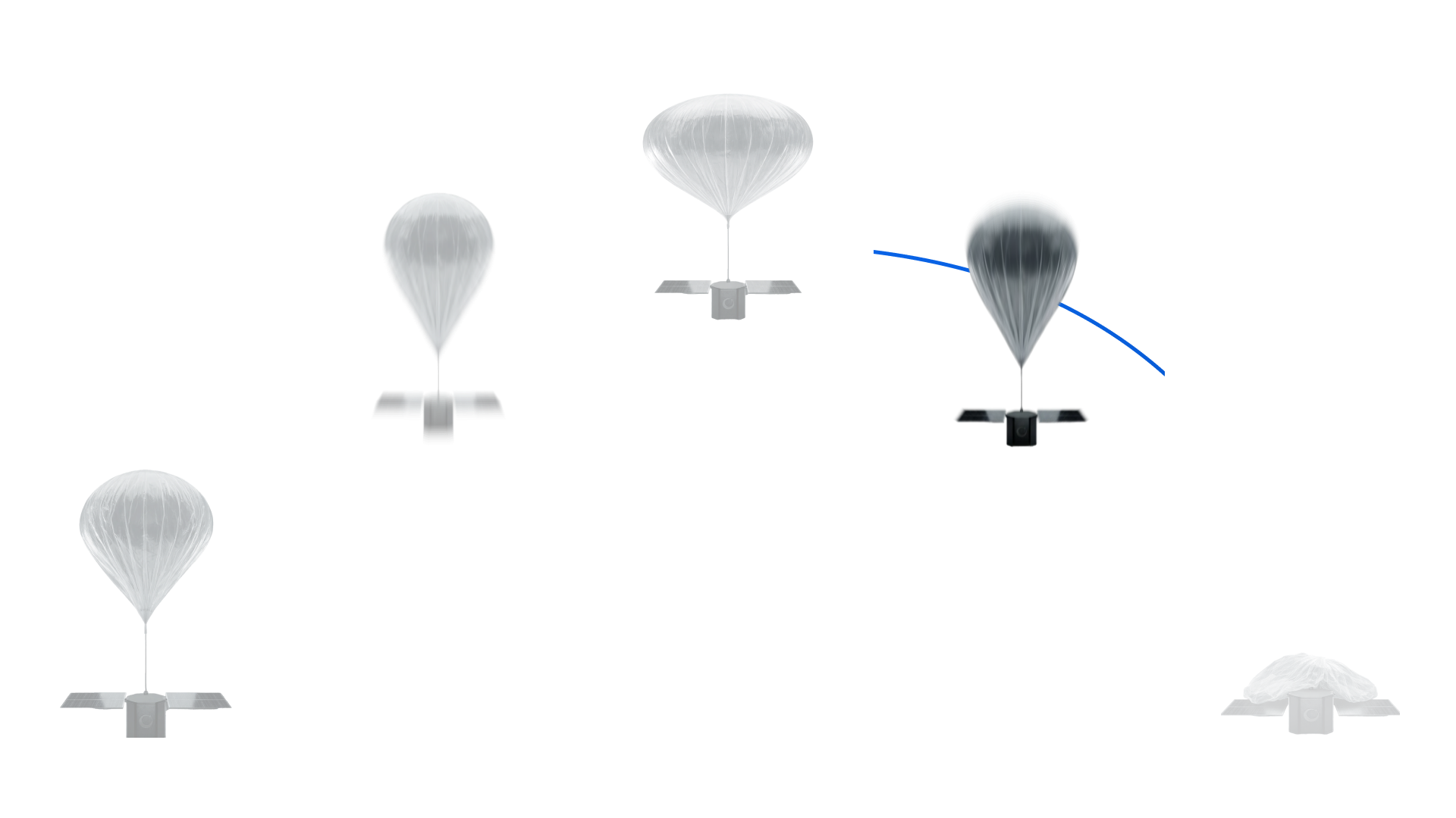
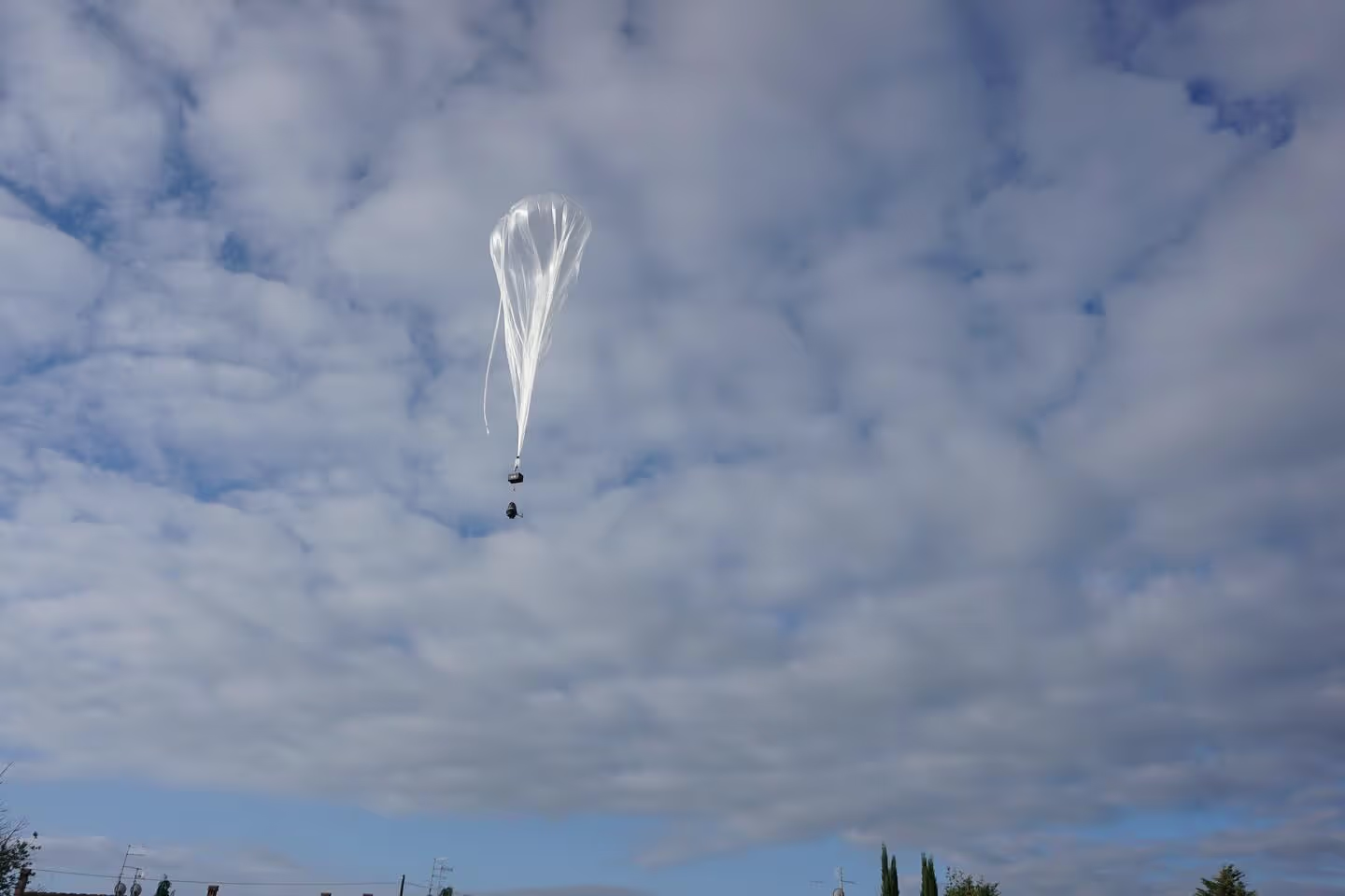
Rapid deployment
Short lead times enable fast iteration and timely mission execution
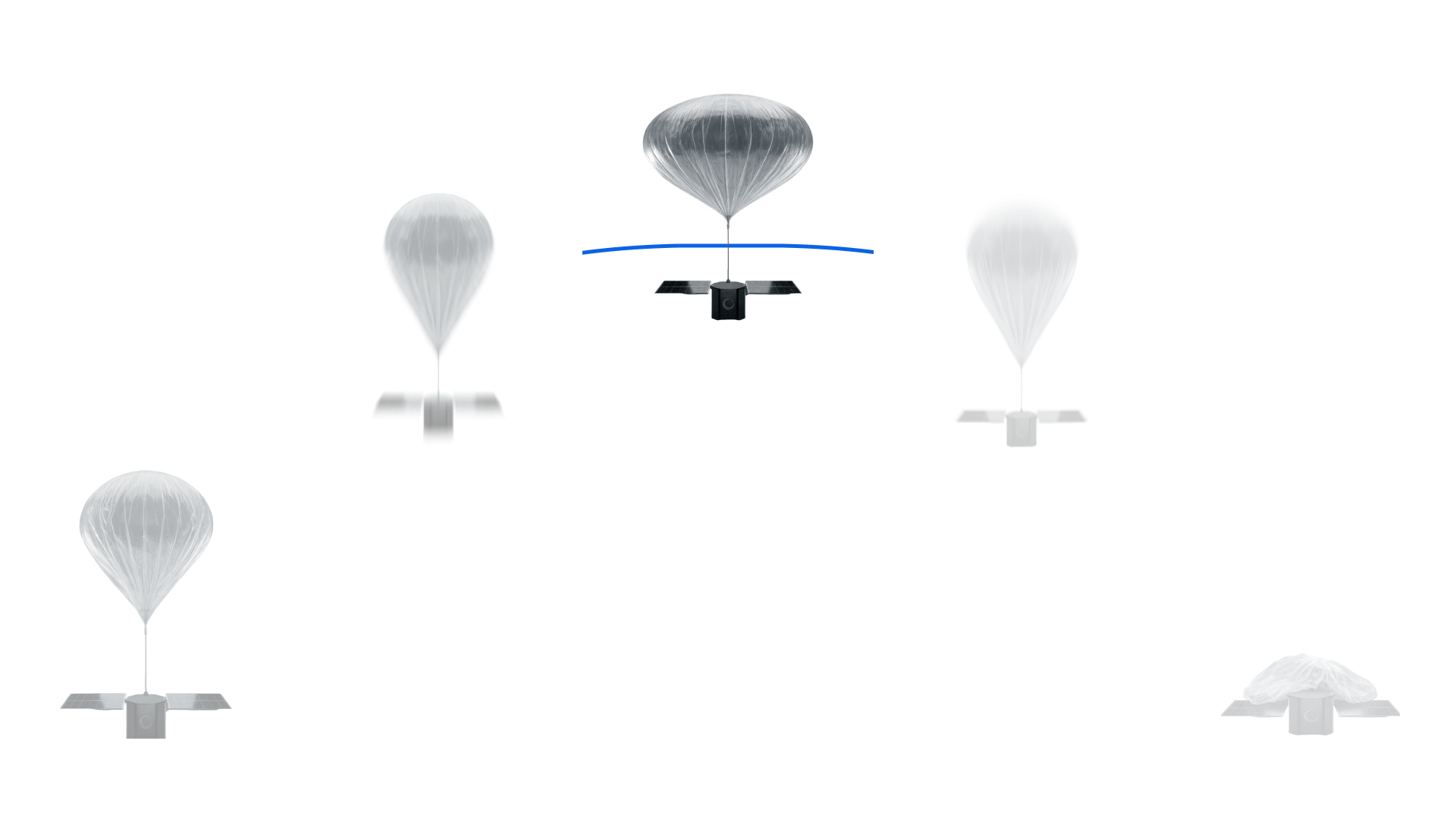
Real-time tracking
Platforms are continuously monitored throughout the mission lifecycle
Services

Two mission domains

Earth Observation and Defence

ISR (Intelligence, Surveillance, Reconnaissance)
Infrastructure and environmental monitoring
Disaster monitoring and emergency response

Flight Validation and Scientific Missions

Satellite and payload suborbital IOD
EDL (Entry, Descent, Landing)
Atmospheric research and High Altitude Experimentation
Resolution

High Resolution, Real Time Data

Operating in the stratosphere enables significantly higher spatial resolution than satellites, while covering far wider areas than drones. This altitude layer delivers detailed, actionable imagery with lower cost, faster deployment, and greater operational flexibility.

10 cm / px
Resolution
Near-Real Time
Revisiting Time
Features

Mission capabilities, built into every flight

Reusable Platforms
Our systems enable reuse, lowering costs and allowing faster iteration while maintaining reliability
In-house design and operations
From engineering to flight operations, everything is managed internally for full control, speed, and flexibility
Custom mission architecture
Each mission is configured around specific objectives, not constrained by fixed platforms or predefined profiles
Cost-efficient access to near-space
Stratospheric performance without the cost, risk, and complexity of orbital missions
Sustainable operations
Lower environmental impact compared to launches and disposable aerospace systems
Decision-ready data
Mission outputs are transformed into actionable insights through CLEAR, our proprietary GeoAI platform