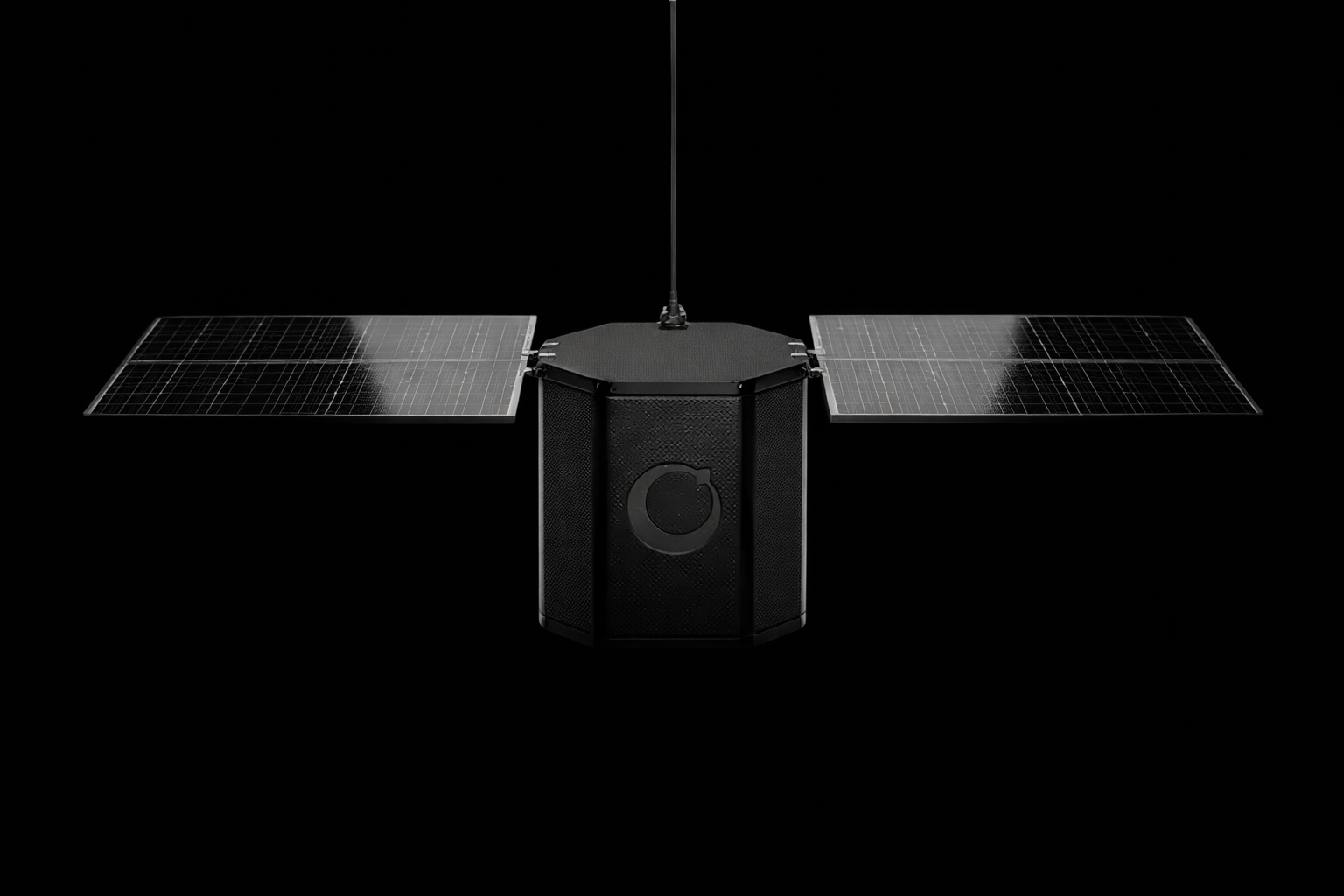
Technology

Autonomous stratospheric balloon systems for real-time Earth observation.

Framework

At 20 km above Earth, our platforms operate in the stratosphere, where satellites cannot see in detail and drones cannot reach. Each flight is guided by Neurostar, our AI system that reads global wind patterns and adjusts altitude to follow the most efficient path.

Products

Two systems built on the same core foundation

For Monitoring

StratoStats®

Designed for sustained stratospheric operations, Stratostats enables high-value observation and scientific missions that require persistence, control, and continuous data collection.

CONTROL MODE
Active AI control with station-keeping
PAYLOAD
Up to 30 Kg (heavier payloads on request)
FLIGHT TIME
Days to weeks
MAIN USE CASE
Continuous monitoring and complex missions
For Mapping

StratoRelay®

Optimized for fast and lightweight deployments, Stratorelay is built for rapid mapping and situational awareness where speed, simplicity, and cost efficiency matter most.

CONTROL MODE
Predictive trajectory modeling (no active control)
PAYLOAD
Integrated payload, up to 2 kg
FLIGHT TIME
Up to 10 hours
MAIN USE CASE
Rapid mapping and one-shot data collection
Stratospheric Systems

Our Competitive Advantage

Persistent coverage

Long-duration stratospheric flights enable continuous monitoring and repeatable data collection over the same area.

Flexible payload integration

Support for optical, multispectral, thermal, and custom payloads, adaptable to different mission needs.

Cost efficiency

Access near-space data at a fraction of the cost of satellite missions, without launch risk or long deployment cycles.
Resolution

High Resolution, Real Time Data

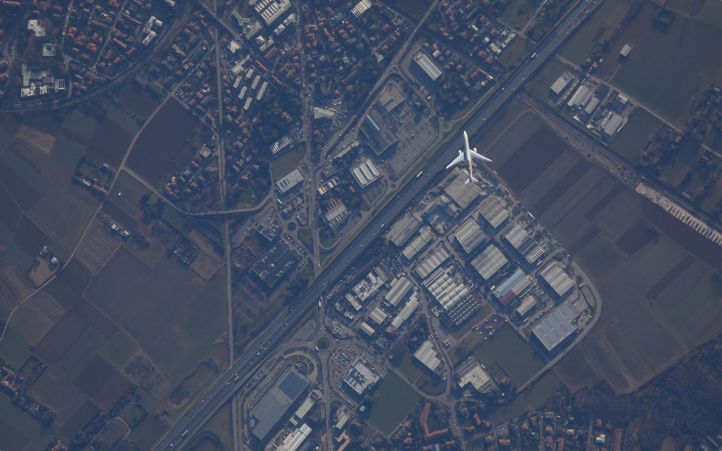
Operating in the stratosphere enables significantly higher spatial resolution than satellites, while covering far wider areas than drones. This altitude layer delivers detailed, actionable imagery with lower cost, faster deployment, and greater operational flexibility.

10 cm / px

Resolution

Near-Real Time

Revisiting Time
Data Integration

The stratosphere as a service layer

We turn the stratosphere into a programmable layer between Earth and decisions, combining traditional data with controlled, persistent stratospheric sensing to deliver real-time operational answers.