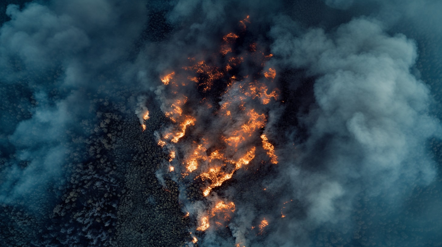
Earth Observation & Defence
Stratospheric intelligence for persistent observation, security and situational awareness across defence, civil protection and environmental domains.
Intelligence, Surveillance and Reconnaissance (ISR)
In advanced military and security scenarios, persistent, flexible and rapidly deployable ISR capabilities are essential, without relying on satellite assets or airborne platforms with limited coverage.
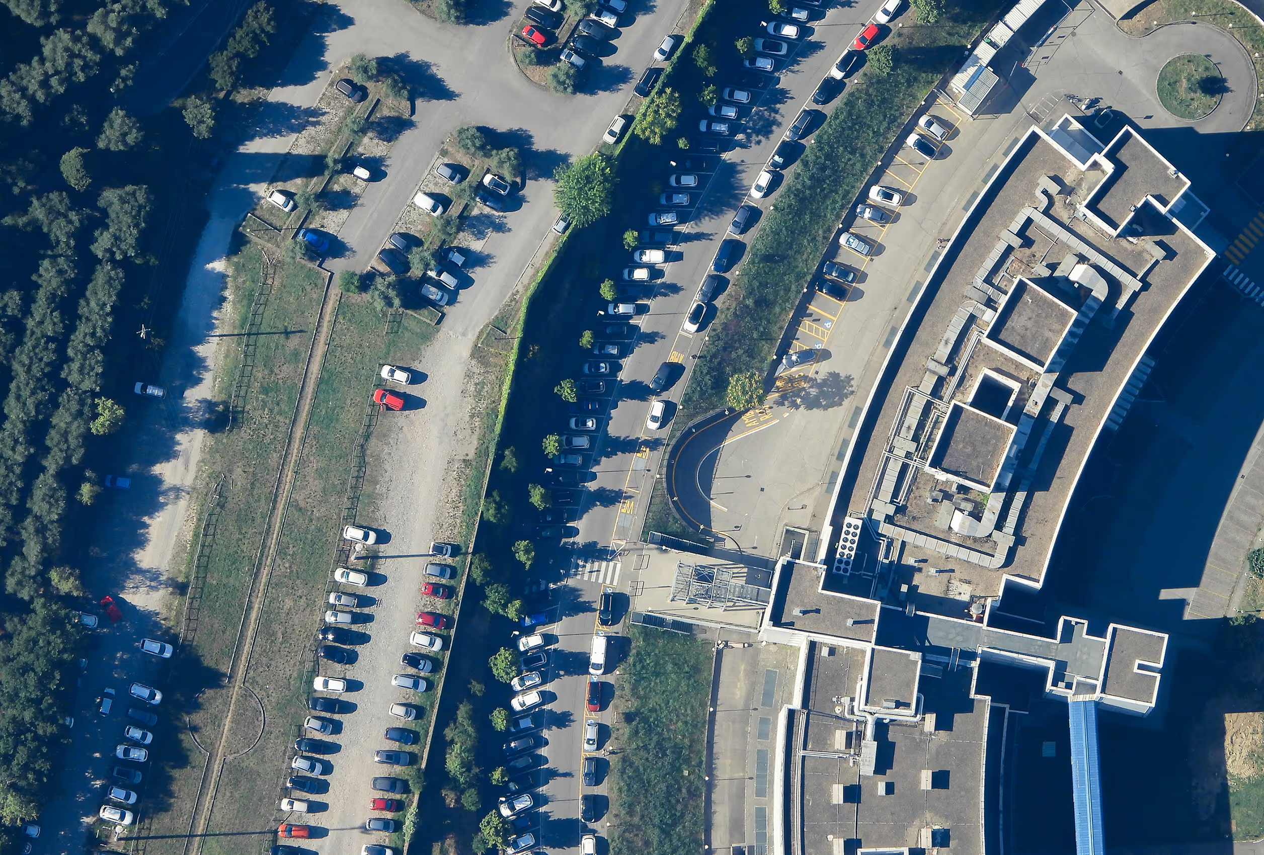
Border and Maritime Domain Awareness
Land borders, exclusive economic zones and maritime routes require continuous monitoring to counter illicit trafficking, irregular migration and low-visibility hostile activities.
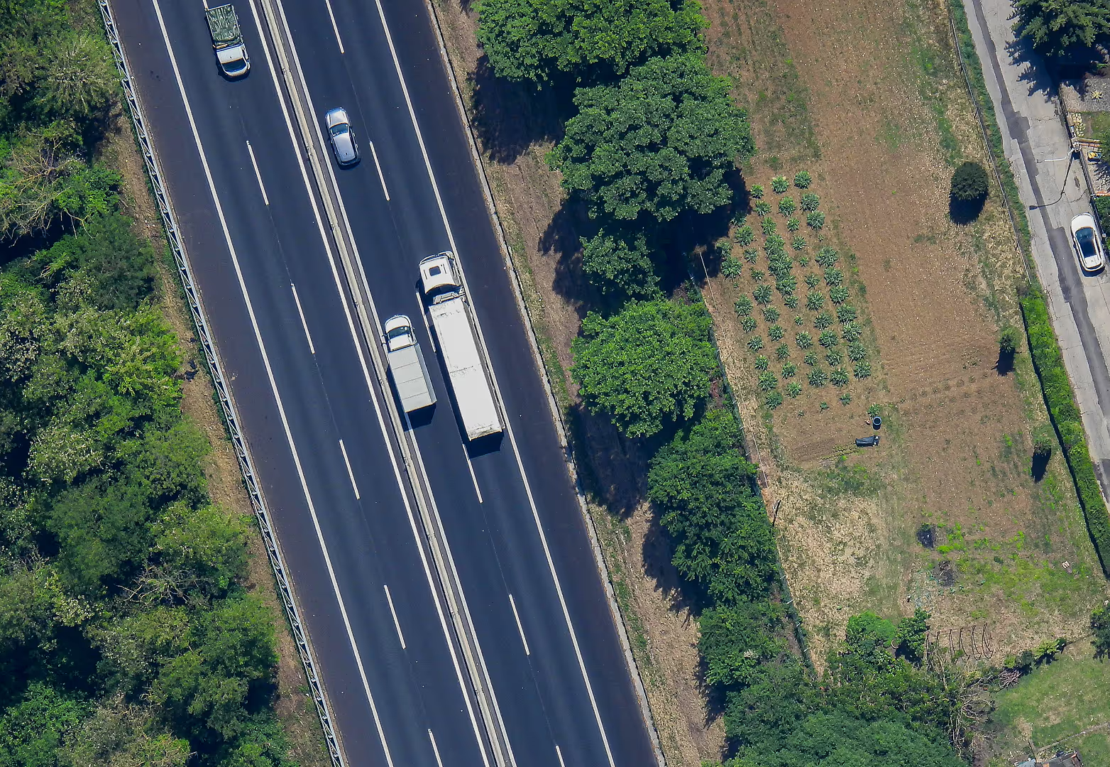
Critical Infrastructure Security and Monitoring
Critical energy, industrial and logistics infrastructures are increasingly exposed to sabotage, tampering and hybrid threats.
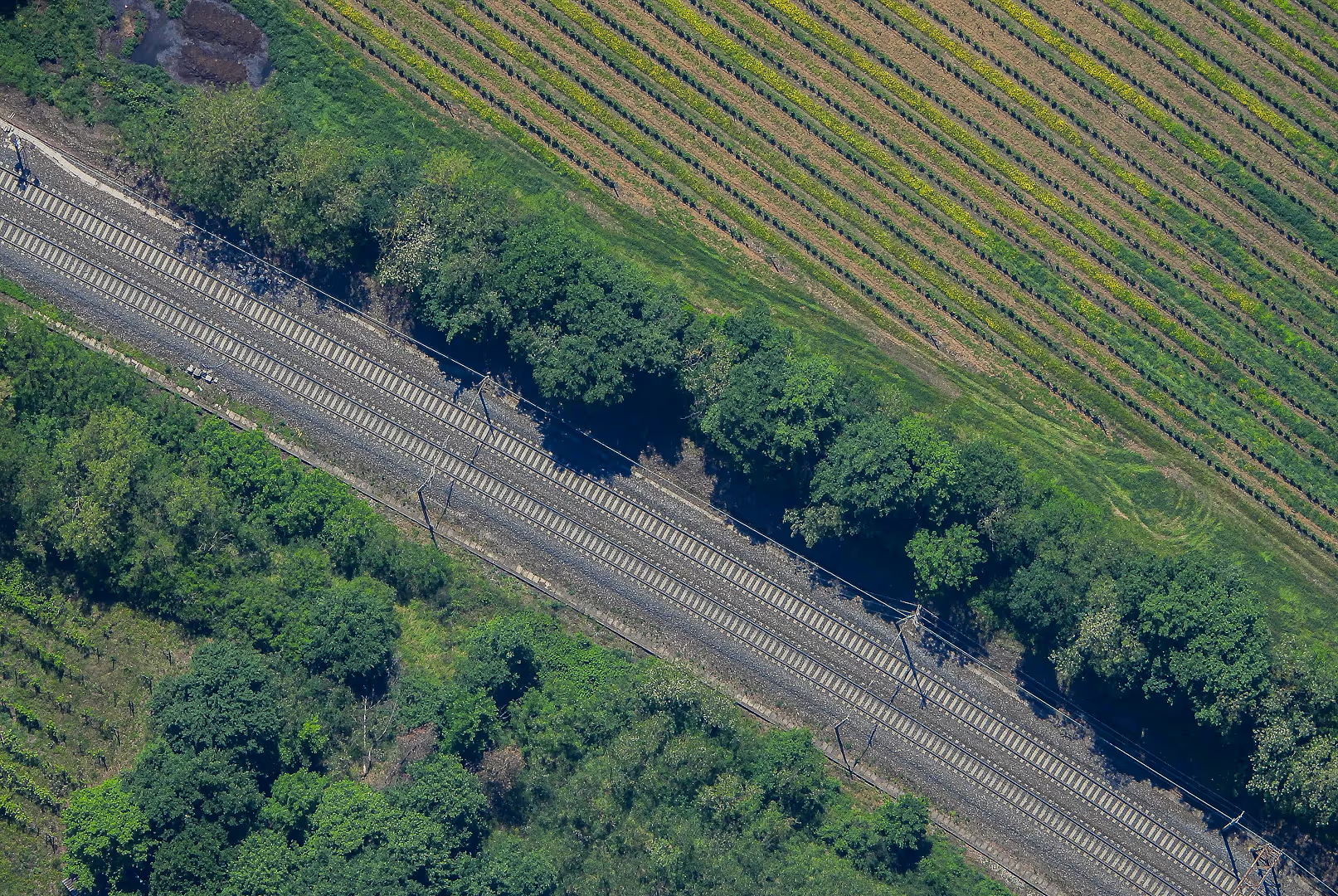
Urban Security and Situational Awareness
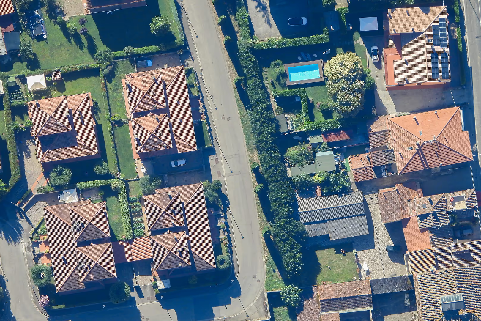
Complex urban areas and large events require an overview that goes beyond local surveillance systems.
Environmental Security and Illegal Activity Detection
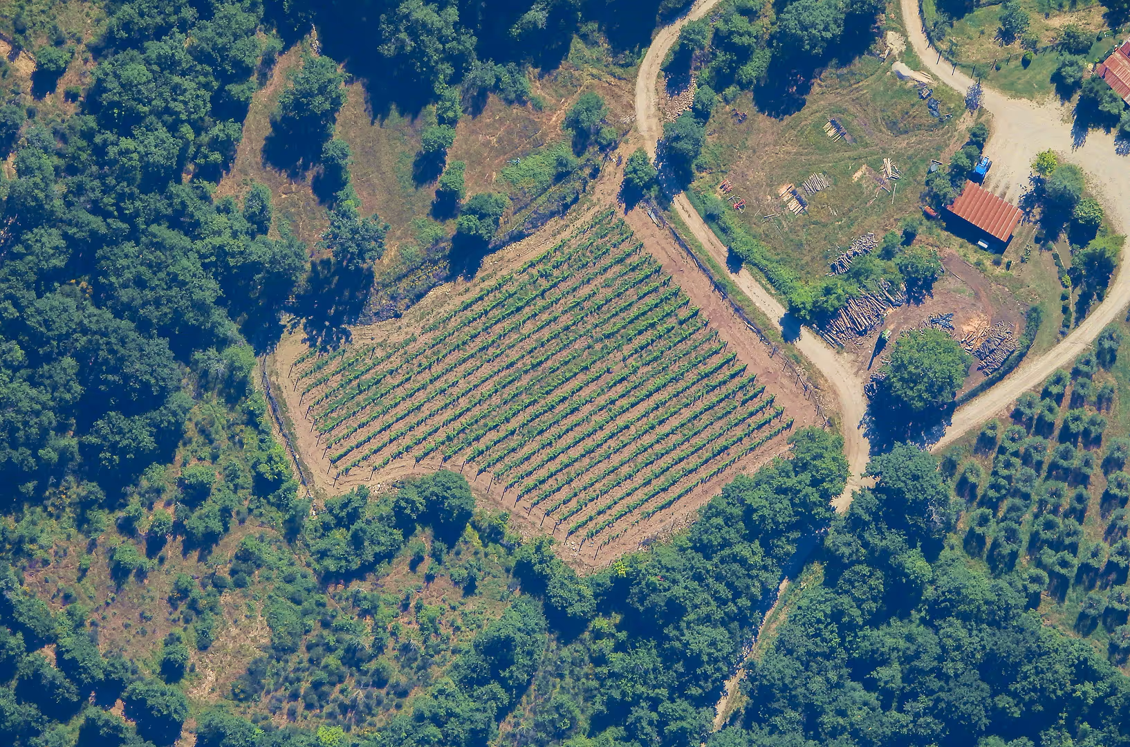
Illegal environmental and territorial activities represent a growing threat to security and stability.
Disaster Monitoring and Emergency Response
During and after a natural or industrial disaster, immediate access to a unified view of the affected area is critical to saving lives and protecting critical infrastructure.